
Austin was once the site of ancient underwater volcanoes, thousands of feet high! Here’s everything you need to know about the fascinating history of Austin’s geology!
Austin’s ancient underwater volcanoes
The world back then
Earth is really, really old, so talking about ancient geologic processes means going back at least a few dozen million years into the past.
And even then, that’s barely a fraction of the total time it's taken Earth to form. But, that’s an existential crisis for another time.
Let’s head back around 145 million years ago to the start of the Cretaceous period. This period marked the third and final stage of the Age of Reptiles, during which dinosaurs roamed the planet and the tectonic plates began to drift apart. It was a time of great change in our Earth’s history, and the geological processes that happened during this period have created much of the visible world we see today.
North America during this time was nothing like it is today. The Rocky Mountains hadn’t yet been formed, much of the land was flat and the continent’s tectonic plate was smushed (that’s a scientific term, right?) against the European and African-South American plates, creating a supercontinent that we today call Pangea. By the early Cretaceous, these plates had begun to move apart, opening up the Atlantic Ocean and creating the Gulf of Mexico.
The amount of tectonic activity created oceanic mountain ranges all over the world which, in turn, raised sea leaves globally. Nearly a third of the land we have today was underwater during the Cretaceous period, including most of North America.
North America back then
By the late Cretaceous period, much of the central and eastern United States was covered by a shallow sea connecting the Atlantic and Arctic Oceans. This sea, called the Western Interior Seaway, completely submerged present-day Texas, Louisiana, Florida, Colorado, Wyoming, Montana, the Dakotas and Nebraska, as well as most of eastern Mexico and New Mexico.
This shallow sea created tidal pools, swamps and lagoons all across the continent, all filled with abundant life. Marine reptiles like plesiosaurs and mosasaurs roamed the seas, as did ancient fish and sharks. Land-based dinosaurs lived on the islands that popped up in the shallow seas, leaving behind footprints that we can still see today! Tiny invertebrates, plankton and single-celled organisms lived in the seas, too, as well as a type of algae that had mineral-rich exoskeletons that created the chalky marine-limestone that the Cretaceous period is known for.
This shallow sea filled with life and the massive tectonic activity happening in this region of the world has everything to do with present-day Austin, Texas although it’s a little hard to imagine why. But now that we’ve set the scene and gathered all the ingredients, it’s easier to see the metaphorical recipe that created our present-day region.
Texas’s volcanoes
We mentioned that the Rocky Mountains hadn’t started forming yet, right? Well, by the late Cretaceous period (~80-60 million years ago), tectonic plates under the Pacific Ocean had begun sliding under the North American Plate, starting a series of mountain-building processes in Western North America. The Earth’s crust buckled and bent with the movement and magma burst through the surface in volcanic eruptions, creating mountain ranges and basins as far east as the Black Hills of South Dakota. This is when the Rocky Mountains formed.
Of course, the effects of this major geological activity extended throughout the continent, including Texas, which, at the time, was still covered by this shallow sea.
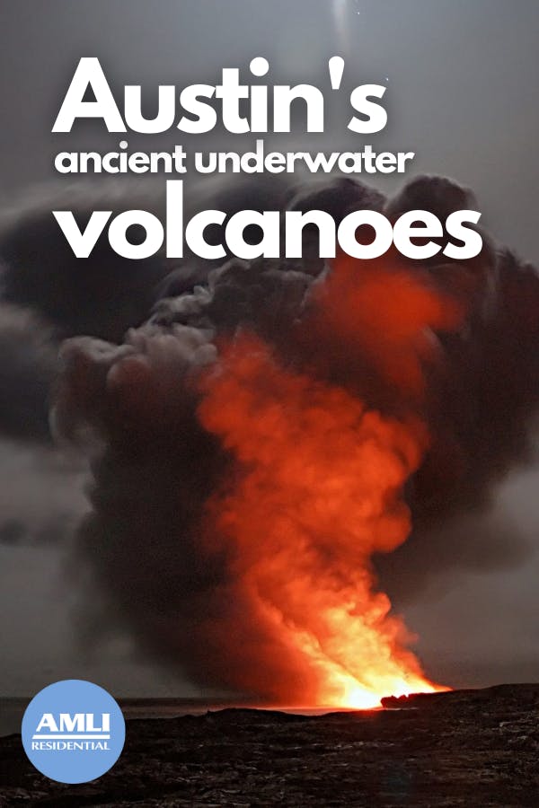
The tectonic activity caused magma to start spewing up through the ground around present-day Texas, although it was all still underwater. Nevertheless, the powerful eruptions spewed ash and sediments into the water, which then all settled back around the eruption site. This created ash cones, and there were likely around 200 of these volcanoes in Texas!
In-between eruptions, invertebrates and other sea creatures would make their homes on the newly formed underwater cones, building reefs and burrowing under the debris. When another eruption happened, those creatures would get buried under a new layer of debris, and the cycle would start all over again.
How do we know this, you ask? Geologists are able to see the layers of ash and limestone in the exposed rock from this time, and they’ve found fossilized clams and other sea creatures trapped in the limestone layers between the layers of clay-like ash.
Over time, these ash cones grew taller and taller with the more eruptions, sometimes even reaching above the surface of the water. When this happened, the eruptions got less violent and more quiet, and the lava cooling on the surface created a hard rock exterior at the top of the volcano.
After the eruptions
These volcanic eruptions slowed after another few million years, leaving behind the quiet volcanic peaks in the shallow sea. The soft, clay-like material created by the ash wore away as the seas eventually retreated, and limestone “beaches” formed as the water levels gradually fell and eroded the ash. In fact, you can see one of these beaches along Onion Creek at McKinney Falls State Park! The limestone shelves that create the waterfalls are the limestone deposits that accrued during the water’s recession. You can even see some of the ash preserved in layers beneath the limestone!
Although most of these volcanoes have eroded to the point that they are no longer visible on the surface, there is still one ancient volcano that remains above ground. And it’s likely that you’ve driven past it a hundred times before! Pilot Knob in Southeast Austin is the largest and most intact remnant of Austin’s underwater volcanoes. It's all on private land, unfortunately, but you can see it from a distance by driving along the McKinney Falls Parkway!
Whether you live in our Austin apartments or are just visiting the area, it’s super cool to know that you’re walking on an ancient ocean floor built by ancient underwater volcanoes!
Enjoy!
Pin it!
Featured photo courtesy Pixabay/doctor-a

Colleen Ford is a South African who now lives on Oahu in Hawai'i. She loves to travel, camp, spearfish and hike. She's also part of a super cool canoe club and is pretty decent at it. Colleen enjoys Star Wars and also not being cold ever.